


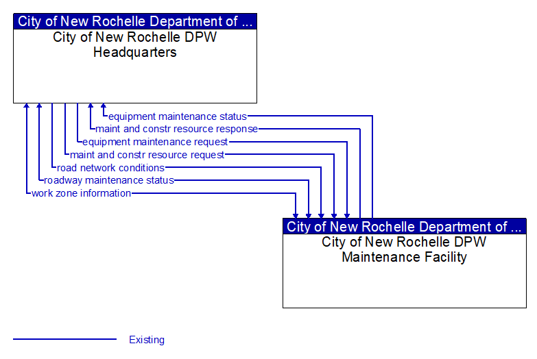
equipment maintenance request (Existing)
Identification of field equipment requiring repair and known information about the associated faults.
equipment maintenance status (Existing)
Current status of field equipment maintenance actions.
maint and constr resource request (Existing)
Request for road maintenance and construction resources that can be used in the diversion of traffic (cones, portable signs), clearance of a road hazard, repair of ancillary damage, or any other incident response. The request may poll for resource availability or request pre-staging, staging, or immediate dispatch of resources.
maint and constr resource response (Existing)
Current status of maintenance and construction resources including availability and deployment status. General resource inventory information covering vehicles, equipment, materials, and people and specific resource deployment status may be included.
road network conditions (Existing)
Current and forecasted traffic information, road and weather conditions, and other road network status. Either raw data, processed data, or some combination of both may be provided by this flow. Information on diversions and alternate routes, closures, and special traffic restrictions (lane/shoulder use, weight restrictions, width restrictions, HOV requirements) in effect is included.
roadway maintenance status (Existing) Selected Comm Solution
Summary of maintenance fleet operations affecting the road network. This includes the status of winter maintenance (snow plow schedule and current status).
work zone information (Existing) Selected Comm Solution
Summary of maintenance and construction work zone activities affecting the road network including the nature of the maintenance or construction activity, location, impact to the roadway, expected time(s) and duration of impact, anticipated delays, alternate routes, and suggested speed limits. This information may be augmented with images that provide a visual indication of current work zone status and traffic impacts.

All rights reserved. © 2020 New York State Department of Transportation