


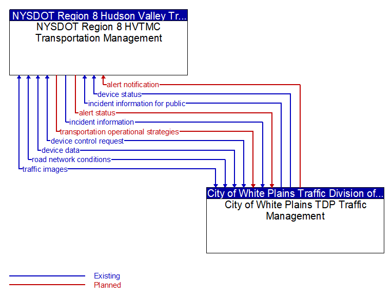
alert notification (Planned) Selected Comm Solution
Notification of a major emergency such as a natural or man-made disaster, civil emergency, or child abduction for distribution to the public. The flow identifies the alert originator, the nature of the emergency, the geographic area affected by the emergency, the effective time period, and information and instructions necessary for the public to respond to the alert. This flow may also identify specific information that should not be released to the public.
alert status (Planned) Selected Comm Solution
Information indicating the current status of the emergency alert including identification of the traveler and driver information systems that are being used to provide the alert.
device control request (Existing) Selected Comm Solution
Request for device control action
device data (Existing) Selected Comm Solution
Data from detectors, environmental sensor stations, roadside equipment, and traffic control devices, including device inventory information.
device status (Existing) Selected Comm Solution
Status information from devices
incident information (Existing) Selected Comm Solution
Notification of existence of incident and expected severity, location, time and nature of incident. As additional information is gathered and the incident evolves, updated incident information is provided. Incidents include any event that impacts transportation system operation ranging from routine incidents (e.g., disabled vehicle at the side of the road) through large-scale natural or human-caused disasters that involve loss of life, injuries, extensive property damage, and multi-jurisdictional response. This also includes special events, closures, and other planned events that may impact the transportation system.
incident information for public (Existing) Selected Comm Solution
Report of current desensitized incident information prepared for public dissemination.
road network conditions (Existing) Selected Comm Solution
Current and forecasted traffic information, road and weather conditions, and other road network status. Either raw data, processed data, or some combination of both may be provided by this flow. Information on diversions and alternate routes, closures, and special traffic restrictions (lane/shoulder use, weight restrictions, width restrictions, HOV requirements) in effect is included.
traffic images (Existing)
High fidelity, real-time traffic images suitable for surveillance monitoring by the operator or for use in machine vision applications. This flow includes the images. Meta data that describes the images is contained in another flow.
transportation operational strategies (Planned) Selected Comm Solution
Operational strategies for each operating agency in a transportation corridor, downtown area, or other travel-impacted area, providing an integrated operations strategy for the freeways, tollways, arterials, transit services, parking facilities, and other transportation-related facilities in the area. These strategies can include dynamic adjustments to transit fares and tolls, parking fees and restrictions, dynamic lane restriction changes, and other active demand management strategies.

All rights reserved. © 2020 New York State Department of Transportation