


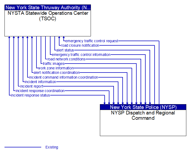
alert notification coordination (Existing)
Coordination of emergency alerts to be distributed to the public. This includes notification of a major emergency such as a natural or man-made disaster, civil emergency, or child abduction for distribution to the public and status of the public notification.
alert status (Existing) Selected Comm Solution
Information indicating the current status of the emergency alert including identification of the traveler and driver information systems that are being used to provide the alert.
emergency traffic control information (Existing) Selected Comm Solution
Status of a special traffic control strategy or system activation implemented in response to an emergency traffic control request, a request for emergency access routes, a request for evacuation, a request to activate closure systems, a request to employ driver information systems to support public safety objectives, or other special requests. Identifies the selected traffic control strategy and system control status.
emergency traffic control request (Existing) Selected Comm Solution
Special request to preempt the current traffic control strategy in effect at one or more signalized intersections or highway segments, activate traffic control and closure systems such as gates and barriers, activate safeguard systems, or use driver information systems. For example, this flow can request all signals to red-flash, request a progression of traffic control preemptions along an emergency vehicle route, request a specific evacuation traffic control plan, request activation of a road closure barrier system, or place a public safety or emergency-related message on a dynamic message sign.
incident command information coordination (Existing)
Information that supports local management of an incident. It includes resource deployment status, hazardous material information, traffic, road, and weather conditions, evacuation advice, and other information that enables emergency or maintenance personnel in the field to implement an effective, safe incident response.
incident information (Existing) Selected Comm Solution
Notification of existence of incident and expected severity, location, time and nature of incident. As additional information is gathered and the incident evolves, updated incident information is provided. Incidents include any event that impacts transportation system operation ranging from routine incidents (e.g., disabled vehicle at the side of the road) through large-scale natural or human-caused disasters that involve loss of life, injuries, extensive property damage, and multi-jurisdictional response. This also includes special events, closures, and other planned events that may impact the transportation system.
incident report (Existing)
Report of an identified incident including incident location, type, severity and other information necessary to initiate an appropriate incident response.
incident response coordination (Existing)
Incident response procedures and current incident response status that are shared between allied response agencies to support a coordinated response to incidents. This flow provides current situation information, including a summary of incident status and its impact on the transportation system and other infrastructure, and current and planned response activities. This flow also coordinates a positive hand off of responsibility for all or part of an incident response between agencies.
incident response status (Existing) Selected Comm Solution
Status of the current incident response including a summary of incident status and its impact on the transportation system, traffic management strategies implemented at the site (e.g., closures, diversions, traffic signal control overrides), and current and planned response activities.
road closure notification (Existing) Selected Comm Solution
Notification that agency personnel have closed a road due to adverse weather, major incident, or other reason.
road network conditions (Existing) Selected Comm Solution
Current and forecasted traffic information, road and weather conditions, and other road network status. Either raw data, processed data, or some combination of both may be provided by this flow. Information on diversions and alternate routes, closures, and special traffic restrictions (lane/shoulder use, weight restrictions, width restrictions, HOV requirements) in effect is included.
traffic images (Existing)
High fidelity, real-time traffic images suitable for surveillance monitoring by the operator or for use in machine vision applications. This flow includes the images. Meta data that describes the images is contained in another flow.
work zone information (Existing) Selected Comm Solution
Summary of maintenance and construction work zone activities affecting the road network including the nature of the maintenance or construction activity, location, impact to the roadway, expected time(s) and duration of impact, anticipated delays, alternate routes, and suggested speed limits. This information may be augmented with images that provide a visual indication of current work zone status and traffic impacts.

All rights reserved. © 2020 New York State Department of Transportation